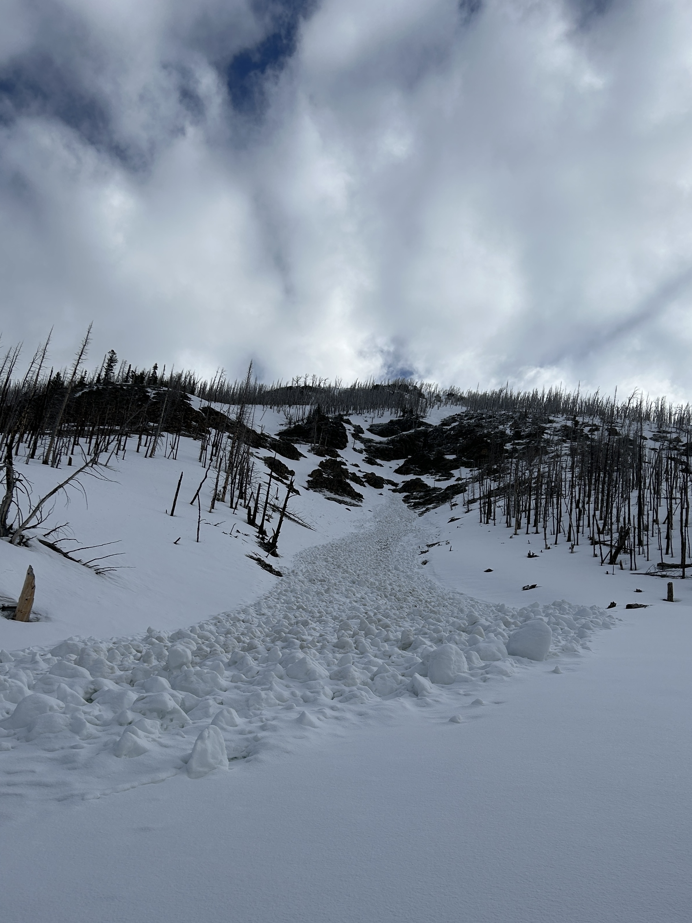
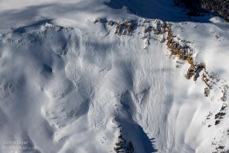
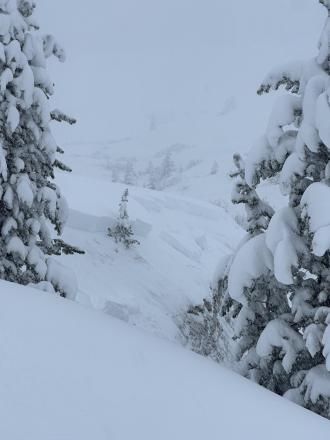
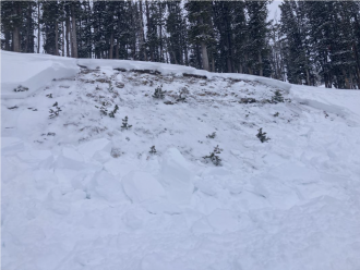
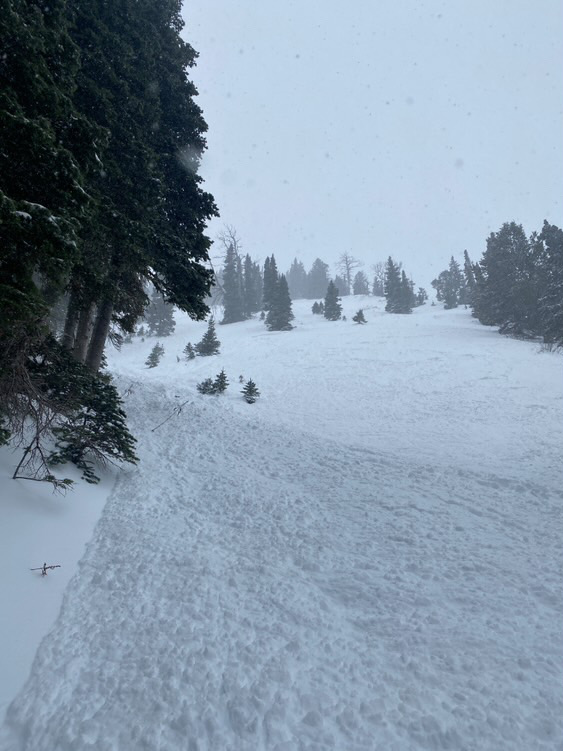
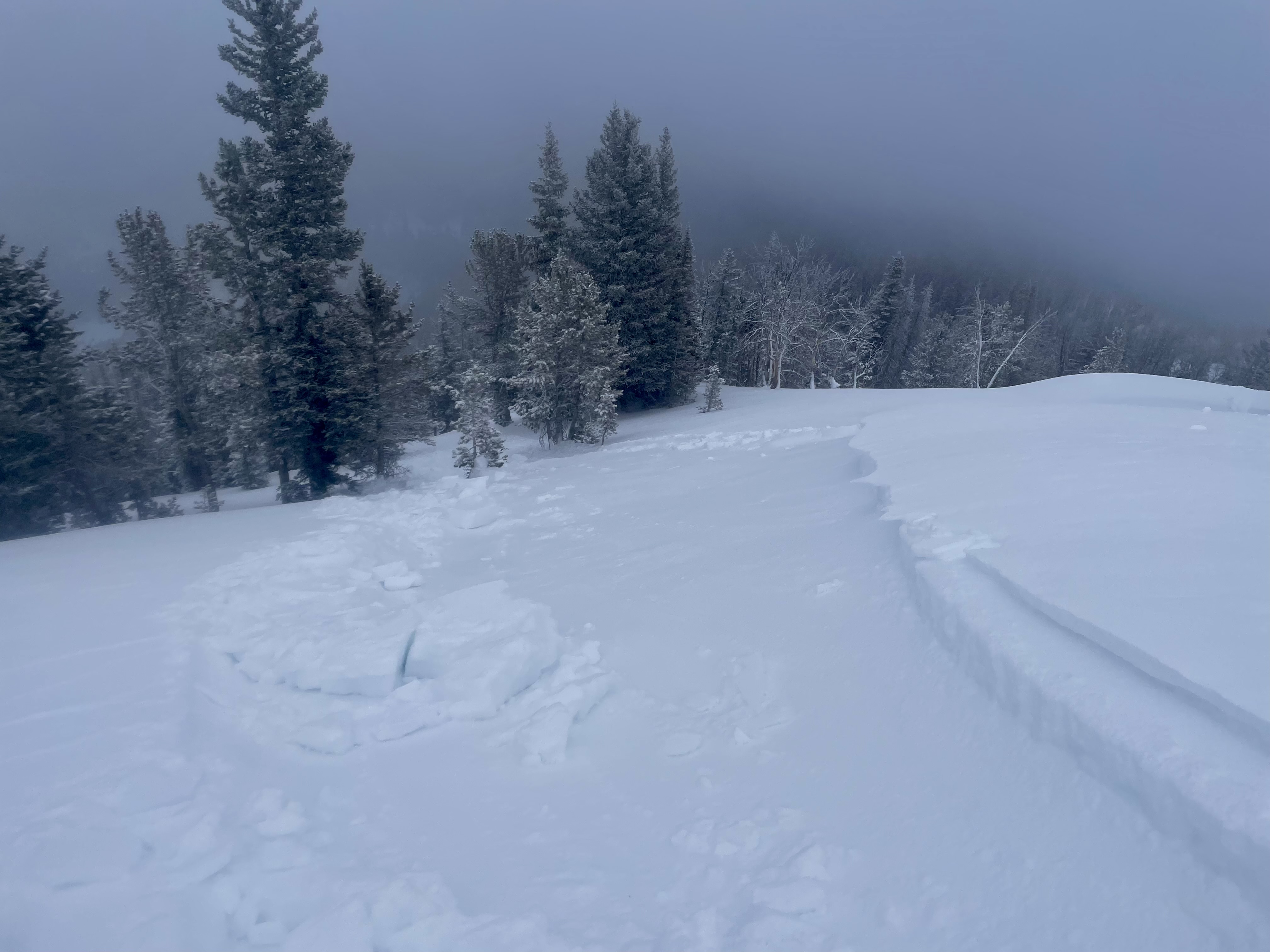
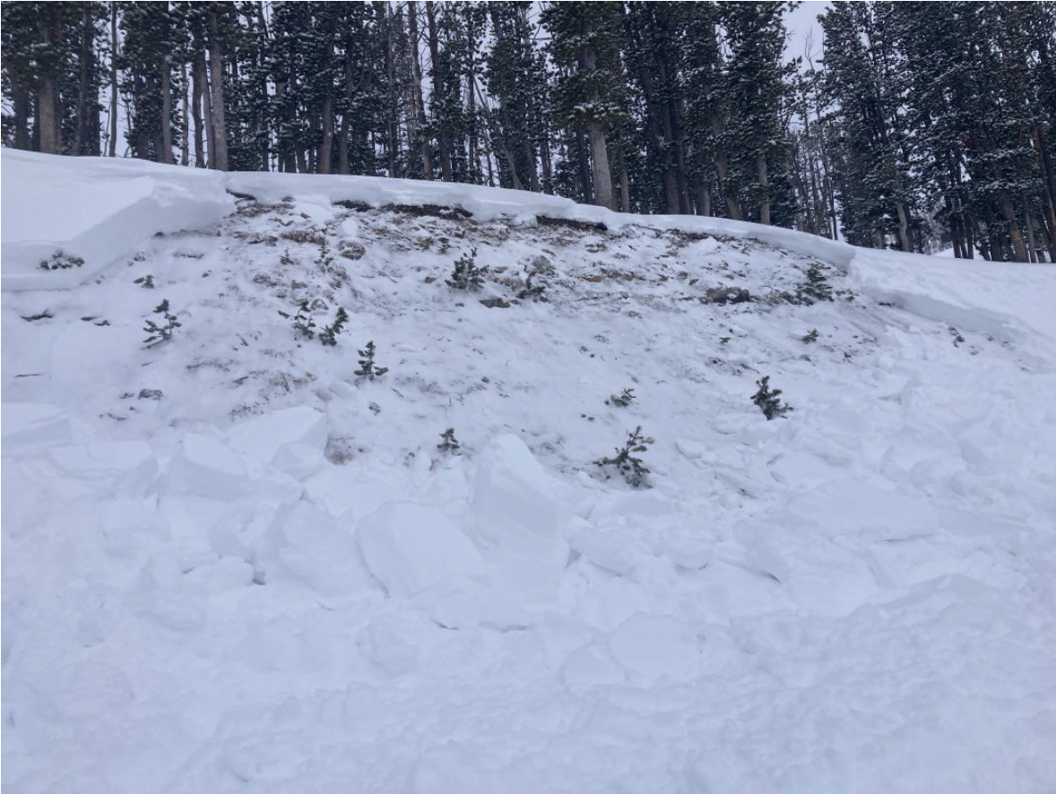
This wet loose avalanche is a great example of where they often occur. Rocks absorb extra heat from the sun and can quickly melt and destabilize the snow. Either move under areas like this early in the morning (as we did), or if you have to travel under them later in the day, move quickly.
Trip Planning for Southern Gallatin

Primary Problem: None
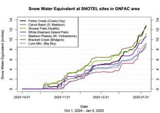
Bottom Line: Spring weather can be highly variable and create a mix of avalanche problems to watch out for. Snow conditions and snow stability can change drastically from day to day or hour to hour. Anticipate rapid change and plan accordingly. Plenty of snowfall over the winter with more spring snow to come makes avalanches possible into summer.Past 5 Days
Mon Apr 21

None
None
Fri Apr 25
None
None
Mon Apr 28
None
None
Fri May 2
None
None
Mon May 5
None
None
Relevant Photos
Displaying 1 - 26
-

-
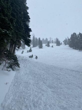
I noticed a couple of wet slides that came off Electric and it’s sun-ridge today. Photo: Anonymous
-

Understanding Avalanche Safety Preparedness – 5-Minute Survey for Motorized Users
We need your input! Eastern Oregon University is conducting a survey to better understand avalanche safety preparedness among motorized backcountry users like you. Your feedback will help us learn more about who is purchasing and practicing with avalanche rescue gear (beacon, probe, shovel) and participating in avalanche education—and why some riders aren’t. The survey is confidential and anonymous.
Your feedback is invaluable in improving avalanche education and awareness. Please take a moment to share your experience and help us make a difference.
https://eoustmhs.qualtrics.com/jfe/form/SV_3L8QKAuZzcxJBLo
Thank you for your time and for being a part of this important effort!
-
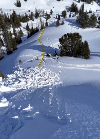
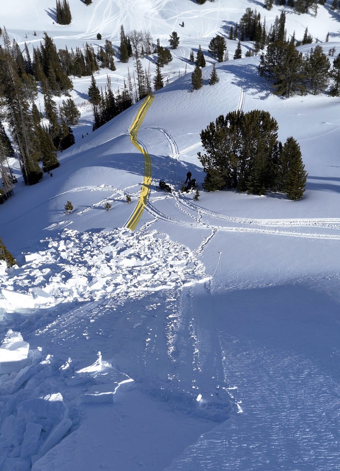
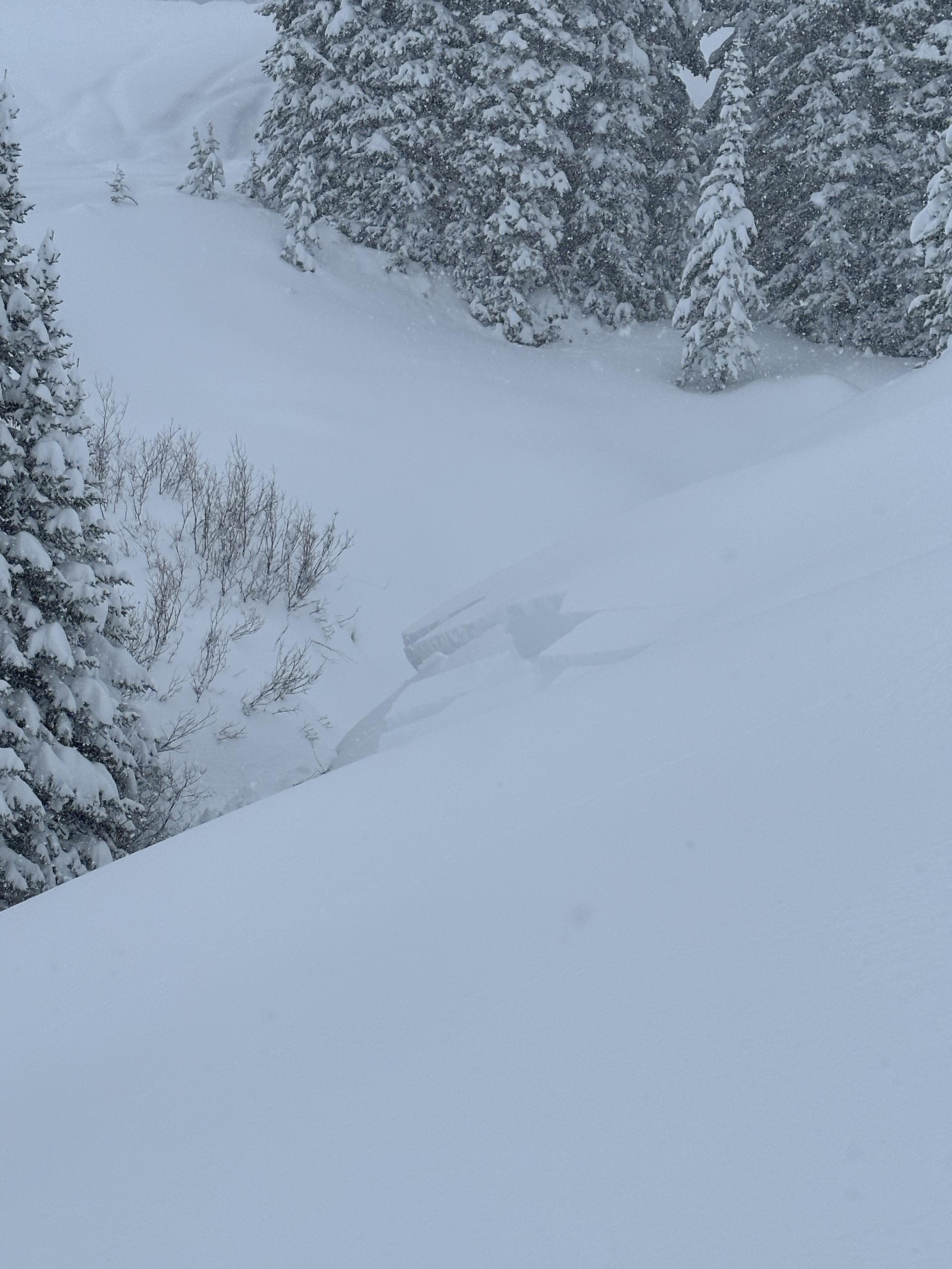
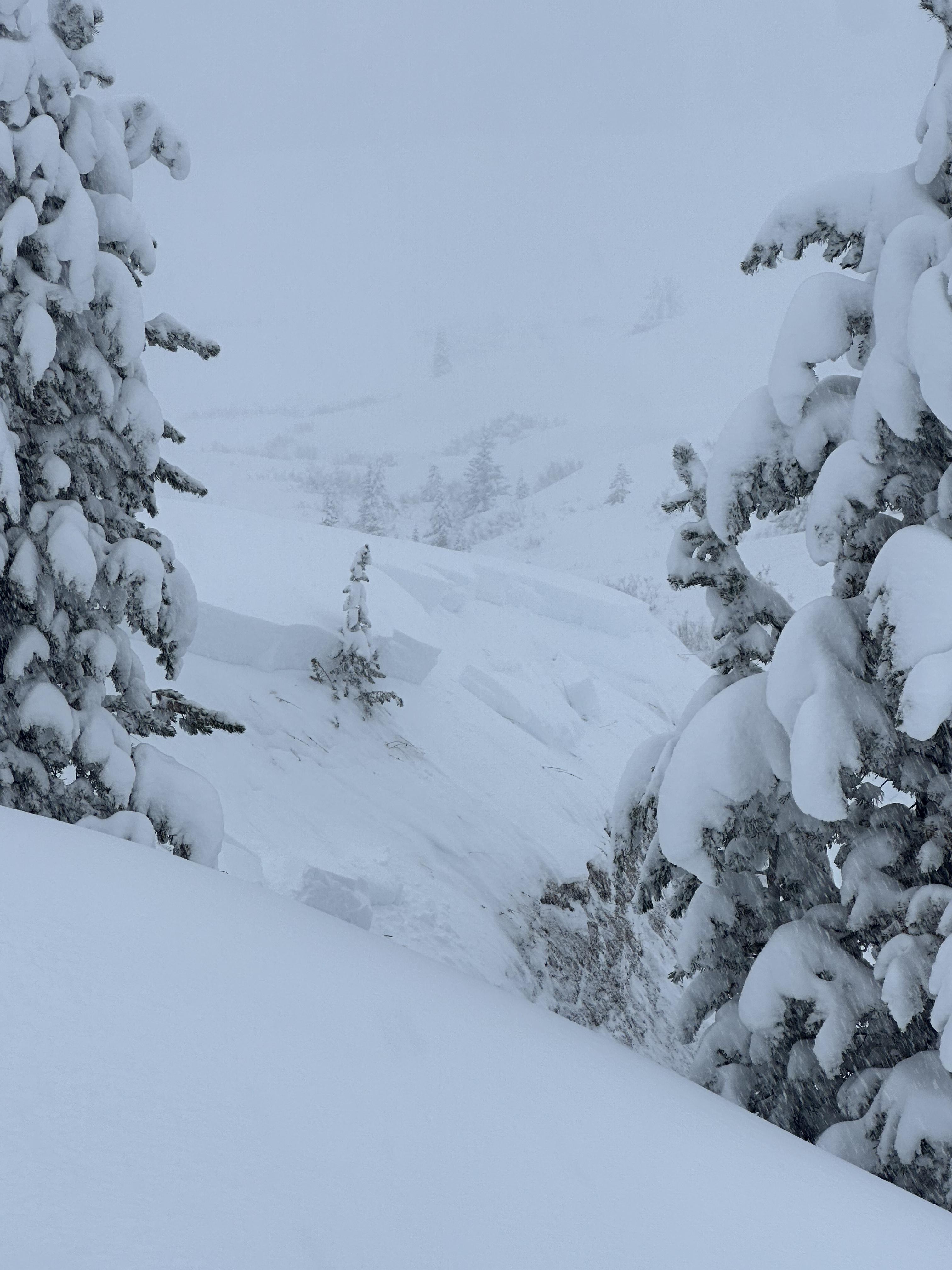
A rider triggered a huge avalanche in the uppermost reaches of Targhee creek on a north facing slope at 9200'
-

A rider triggered a huge avalanche in the uppermost reaches of Targhee creek on a north facing slope at 9200'
-
A rider triggered a huge avalanche in the uppermost reaches of Targhee creek on a north facing slope at 9200'
-
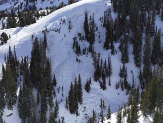
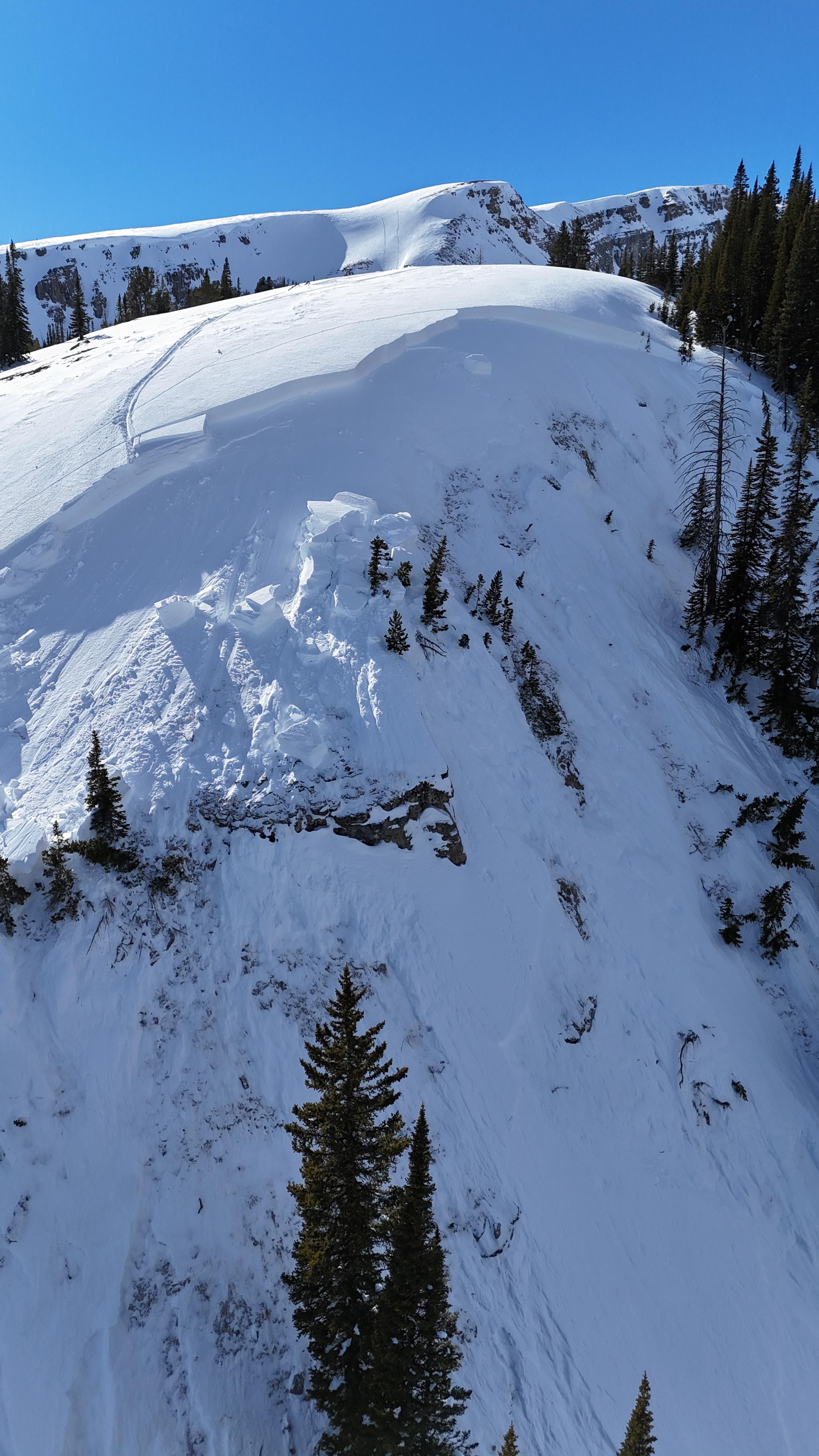
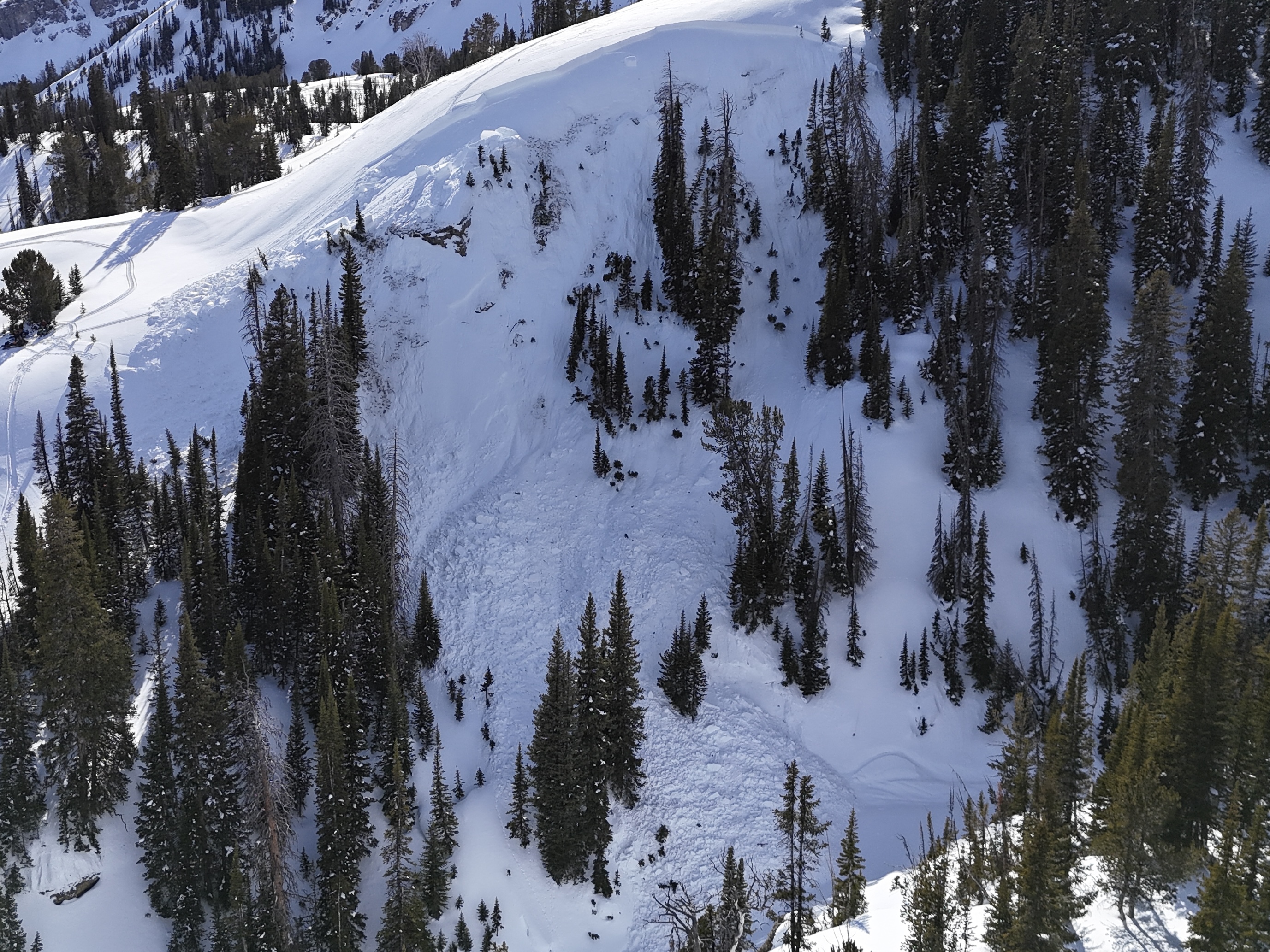
Natural avalanche spotted from the air on Red Mountain, just west of Ernest Miller Ridge
-
-
We experienced a remarkable number of thunderous collapses throughout the day (I lost count), one of which triggered an avalanche into Specimen Creek while we were in the flats. Photo: R Parsons
-
From obs on 12/29: "On our way out near the cabin I cut a line close to a creek to see if I could trigger something."
-
From obs on 12/29: "On our way out near the cabin I cut a line close to a creek to see if I could trigger something."
-
Plumes of drifting snow in the Bridger Range as strong winds blasted the mountains. Photo: GNFAC
-
From IG: On 12/15 "Storm slab broke about 200’ above us as skinning up the hallway coming from the north side on the throne." Photo: Anonymous
-
Gusty winds transporting snow in Taylor Fork on Saturday. Triggered a 4-5 inch deep wind slab that propagated about 50 ft at the top of a north east facing slope at 9,500 ft.
Photo: JP
-
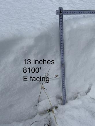
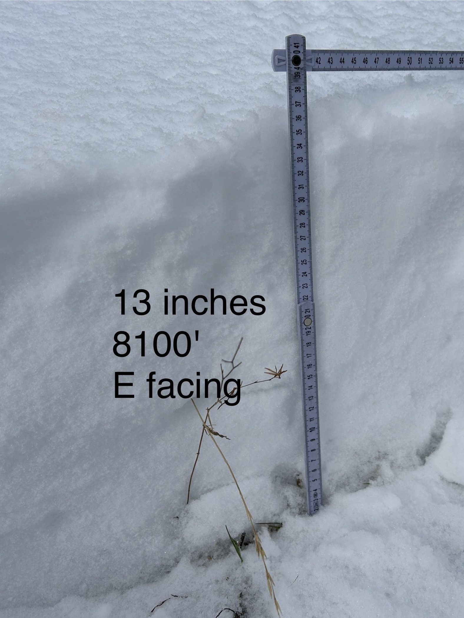
WE facing snow at 8100 ft Cabin Ck
-
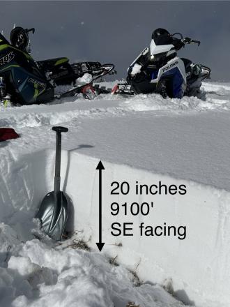
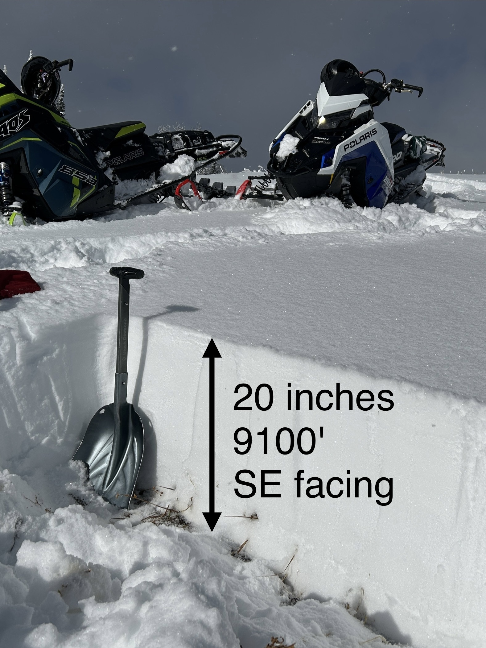
SE facing snow Cabin Creek
-
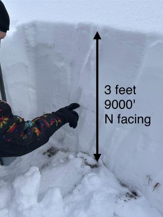
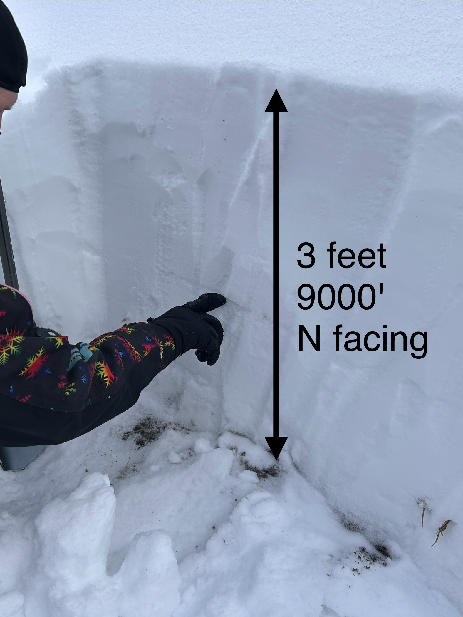
N facing snow Cabin Creek, 9000 ft
-

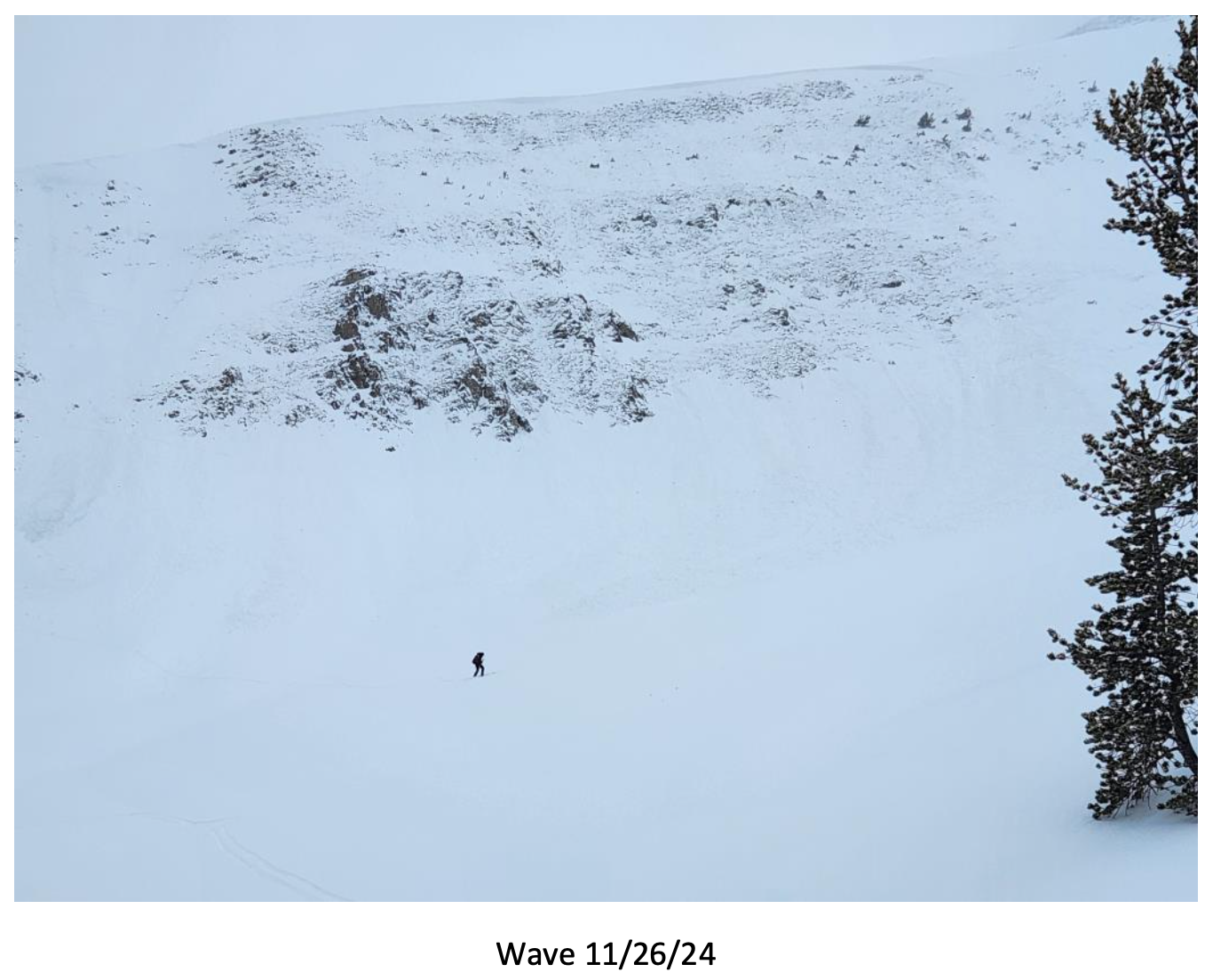
Big Sky Ski Patrol triggered this avalanche during mitigation work in The Wave on 11/26/24... "2-3' deep on an ice crust just above the ground with a 2# shot in the Upper rodeo. Volume was limited as most of the snow was loaded just underneath the cornice, but still produced a sizeable size 2... Other paths in the Lenin region ran meaty wind slabs, full track with no significant step downs." Photo: BSSP
-
Cracking on old, faceted, October snow hundreds of feet long. North facing near treeline. Photo: BSSP
-
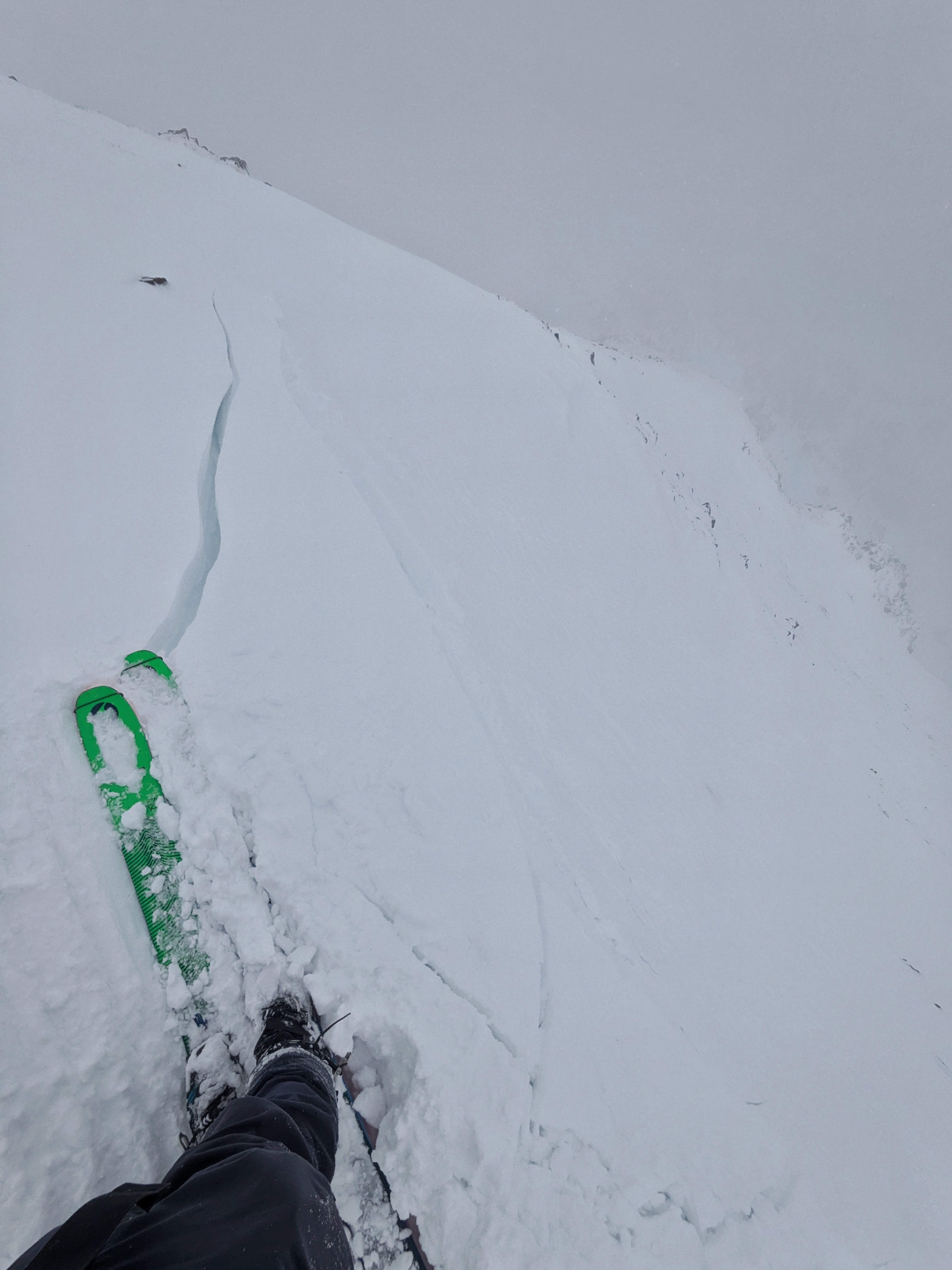
Intentional, human-triggered avalanche by a ski patrol breaking at the ground on a north facing slope near treeline. Photo: BSSP
-
Snowpit at Bridger Bowl on 11/5. Photo: B. VandenBos
-
From e-mail: "Photo attached from near top of hyalite peak, 11/2. Cracking in recent hard wind slab, I had to really jump hard to make this. Walked on many other hard slabs that were well bonded. Highly variable snowpack. I think you'd be most likely to get into trouble by popping out a small hard slab pocket like this and getting magic carpeted into some thinly covered terrain." Photo: B. VandenBos
-

From obs: "1-3 mm faceting in front of the Montage. Clear skys and mid 20 temps"
-

On October 17, rain turned to snow and blanketed the mountains of southwest Montana with a fresh coat of snow. Photo: Yellowstone Club Webcam
-
On October 17, rain turned to snow and blanketed the mountains of southwest Montana with a fresh coat of snow. Photo: Bridger Bowl Webcams
-
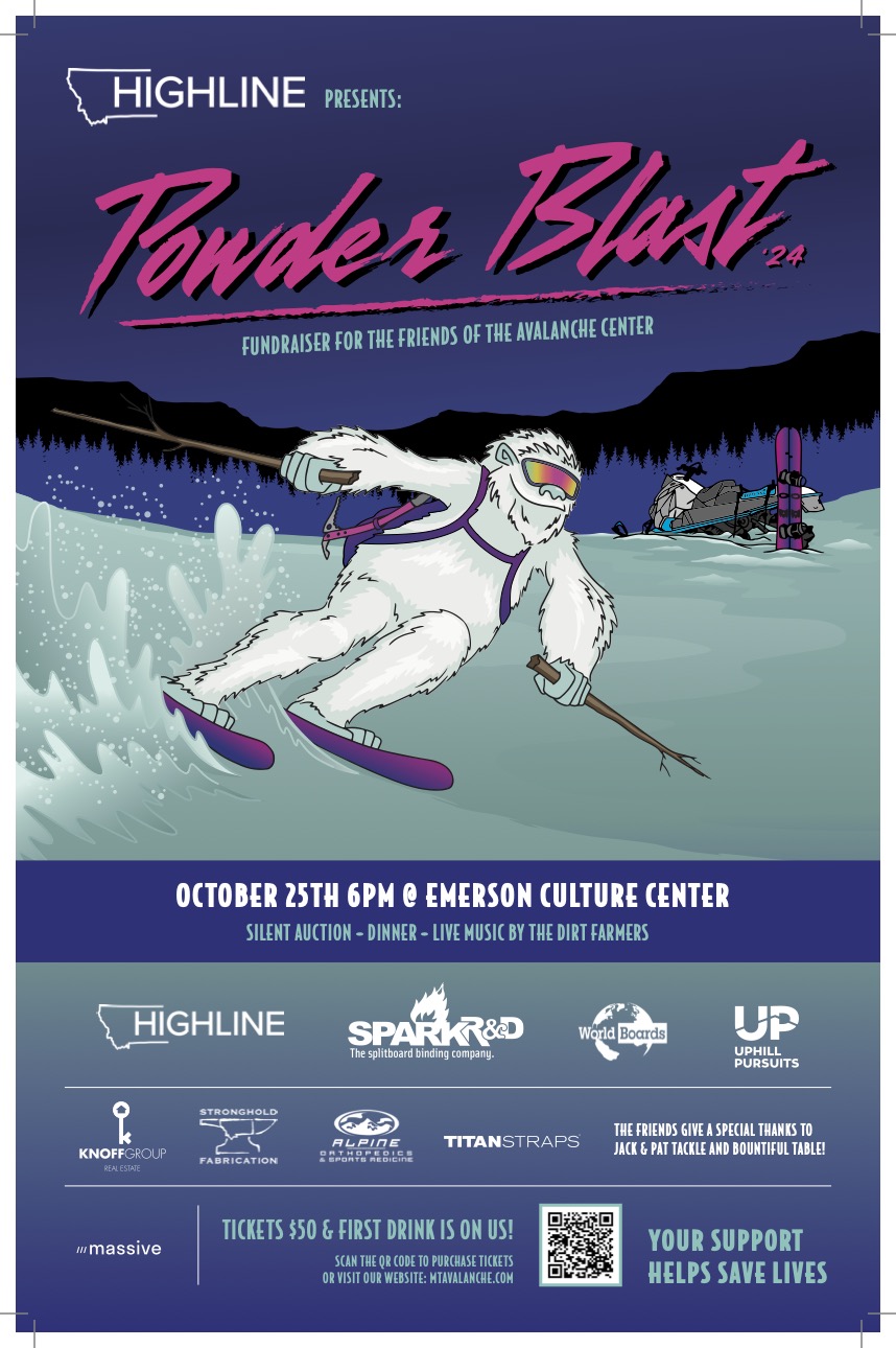
The 26th annual fundraiser for the Friends of the GNFAC is October 25 at the Emerson Cultural Center. More info and tickets at: https://events.eventgroove.com/event/Powder-Blast-2024-101627


Videos- Southern Gallatin
WebCams
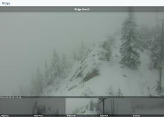
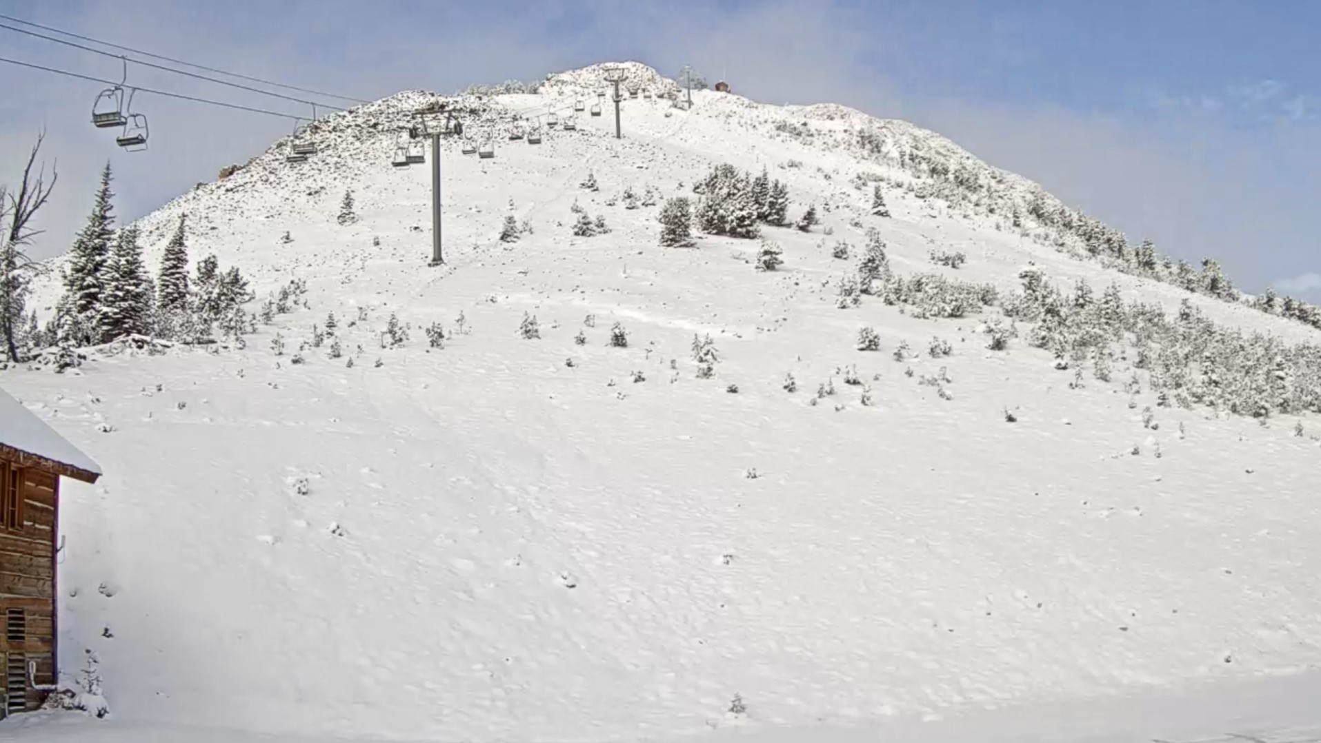
Electric Peak
Roosevelt Arch
Weather Stations- Southern Gallatin
Weather Forecast Southern Gallatin
Extended Forecast for17 Miles SE Big Sky MT
Tonight

Low: 50 °F
Clear
Tuesday
High: 78 °F
Sunny then
Chance
T-storms and
BreezyTuesday Night
Low: 52 °F
Chance
Showers then
Partly CloudyWednesday
High: 78 °F
Mostly Sunny
then Chance
T-stormsWednesday Night
Low: 53 °F
Chance
Showers then
Mostly CloudyThursday
High: 71 °F
Slight Chance
Showers then
Chance
T-stormsThursday Night
Low: 49 °F
Showers
Likely then
Slight Chance
T-stormsIndependence Day
High: 66 °F
Chance
Showers then
T-storms
LikelyFriday Night
Low: 45 °F
Chance
T-storms then
Slight Chance
Showers
The Last Word
We ended our 35th winter in operation after 141 forecasts and ZERO avalanche fatalities, the second winter in a row with no avalanche deaths. The last time this happened was 1988 and 1989. It’s been an incredible season.
Thank you for all your support! Our success is directly related to support from our community and the Forest Service. Thanks to the readers of the forecast, everyone that sent in observations, took an avalanche class, or donated money, time or gear. Have a safe spring and summer!